Hands-on, field-based training programs designed to build the next generation of skilled surveyors and engineering professionals in Rwanda and beyond.
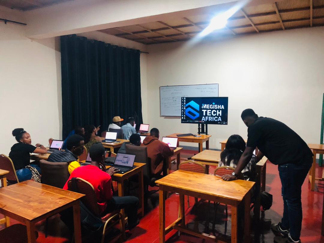
Megisha Landmark's engineering surveying training programs bridge the gap between academic theory and professional practice. Our courses are taught by licensed surveyors with years of field experience — people who have worked on Rwanda's roads, boundaries, and infrastructure.
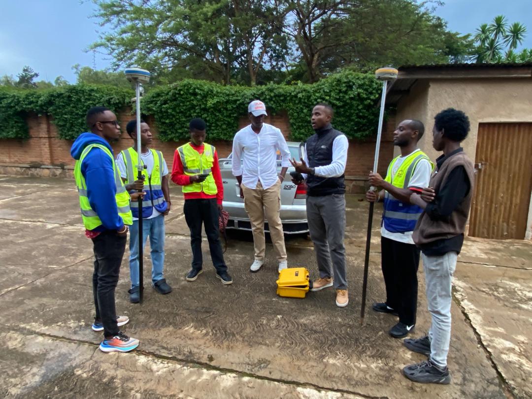
Participants learn to operate total stations, GNSS/GPS receivers, and industry-standard software through structured classroom sessions combined with intensive fieldwork on live project sites. Every cohort leaves with a portfolio of documented field exercises and a certificate of competency.
Whether you are a fresh graduate, a practicing engineer seeking to add survey skills, or a technician aiming for certification, we have a program tailored to your level and goals.
Our trainees in classroom sessions and on-site fieldwork across Rwanda

Practical, industry-aligned courses from foundational surveying to advanced geospatial technology
Master the full workflow of electronic total station surveys: setup, traverse, setout, data download, and processing in CAD and survey software.
Hands-on training in static, RTK, and PPK GPS surveying, covering base-rover setup, coordinate transformation, and network adjustments.
Field data collection methods for topographic mapping combined with AutoCAD/Civil 3D drafting to produce professional-grade survey drawings.
Introduction to ArcGIS and QGIS: data capture, georeferencing, attribute editing, spatial queries, and map production for engineering projects.
Alignment design, cross-section measurement, earthwork volume calculations, and setout techniques specific to road construction projects.
Rwanda land tenure system, boundary determination, parcel demarcation, and the documentation workflow for Rwanda Land Authority submissions.
A proven three-stage approach that takes you from theory to professional competency

Our programs welcome professionals at every stage of their career
Civil engineering, geomatics, and geography graduates entering the workforce
Engineers who want to take direct control of survey tasks on their sites
Technicians seeking formal skills validation and professional certification
District and RLA staff involved in land registration and infrastructure planning
Companies looking to upskill their field teams for in-house survey capability
Professionals from related fields transitioning into geospatial and survey roles