We provide professional surveying services for mining projects — from the early stages of exploration to the final stage of land restoration. Our work is precise, compliant with regulations, and tested in the field.
.jpeg)
Megisha Landmark offers a full range of mining survey services that are designed to meet the specific needs of mineral exploration and extraction operations throughout Rwanda and the wider East African region.
Our team of licensed surveyors uses advanced GPS equipment and total station technology, combined with extensive field experience, to produce accurate survey data. This data supports safe and efficient mining activities at every stage — from initial feasibility studies to mine closure and land rehabilitation.
We work in close collaboration with mining companies, government institutions, and environmental consultants to ensure that all survey outputs meet the required regulatory standards and provide reliable information for informed decision-making.
A complete range of professional surveying services that cover every phase of a mining project's life cycle
We conduct topographic mapping, soil sampling grid layouts, and geophysical survey support to help determine whether a mining site is suitable for investment before any major decisions are made.
We carry out precise legal boundary surveys for mining concessions and permits, ensuring full compliance with national mining regulations and helping to prevent future land disputes.
We provide accurate cut-and-fill volume calculations, ore stockpile inventories, and tailings pond surveys using drone photogrammetry and ground-based scanning technology.
We conduct regular survey campaigns to track excavation progress, monitor slope stability, and document changes on the ground for operational reporting and safety compliance purposes.
We prepare all survey reports, technical maps, and supporting documents required by the Rwanda Mines, Petroleum and Gas Board (RMB) and other relevant regulatory authorities.
We conduct post-mining land surveys to document the final condition of a site, support environmental restoration efforts, and fulfil the requirements outlined in mine closure plans.
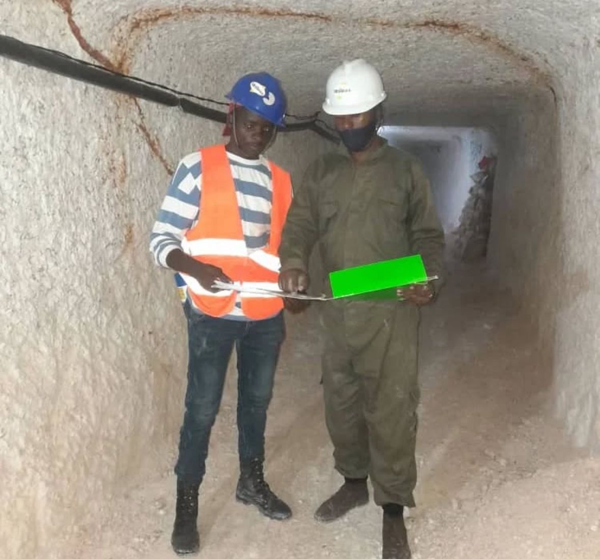
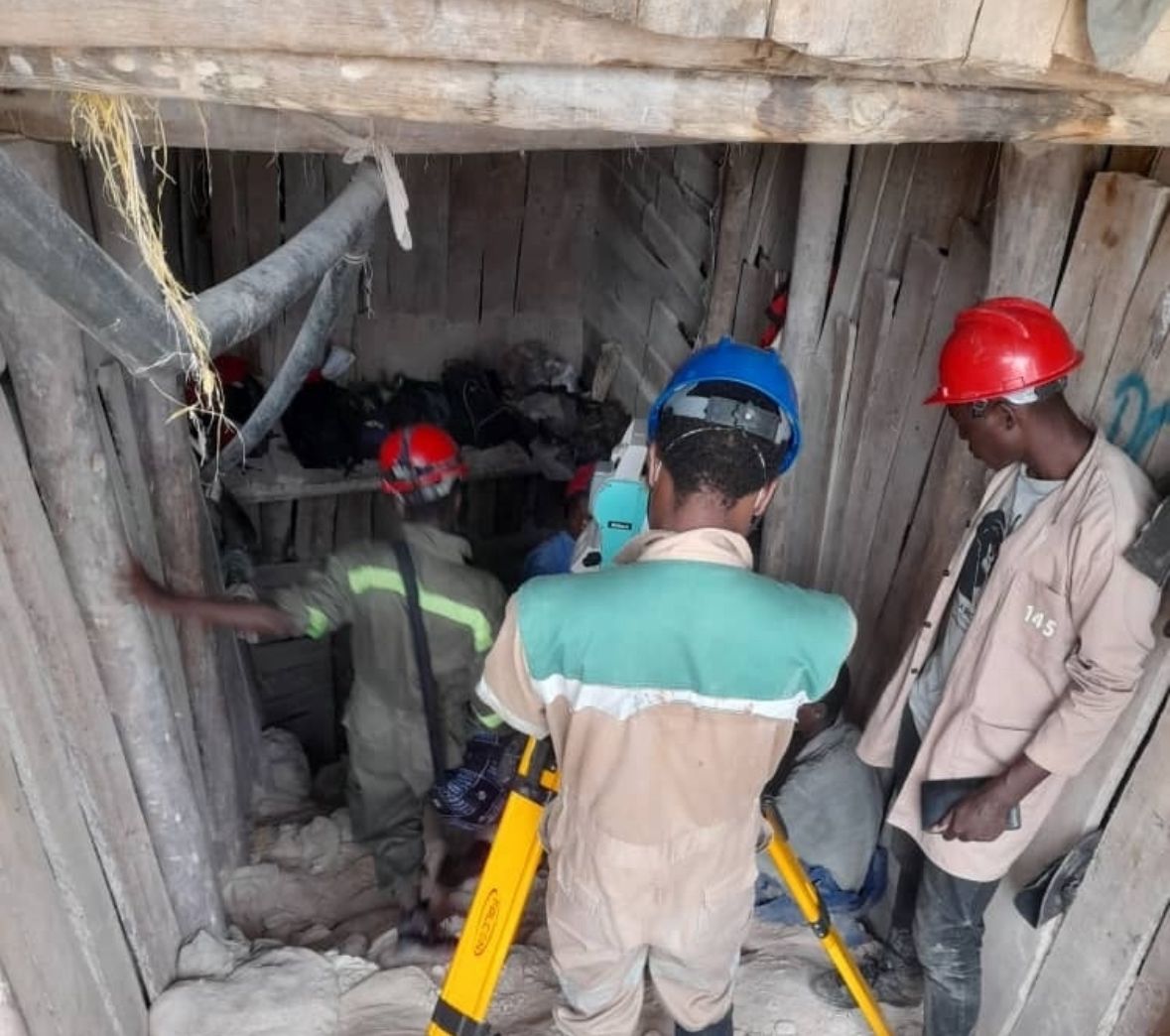
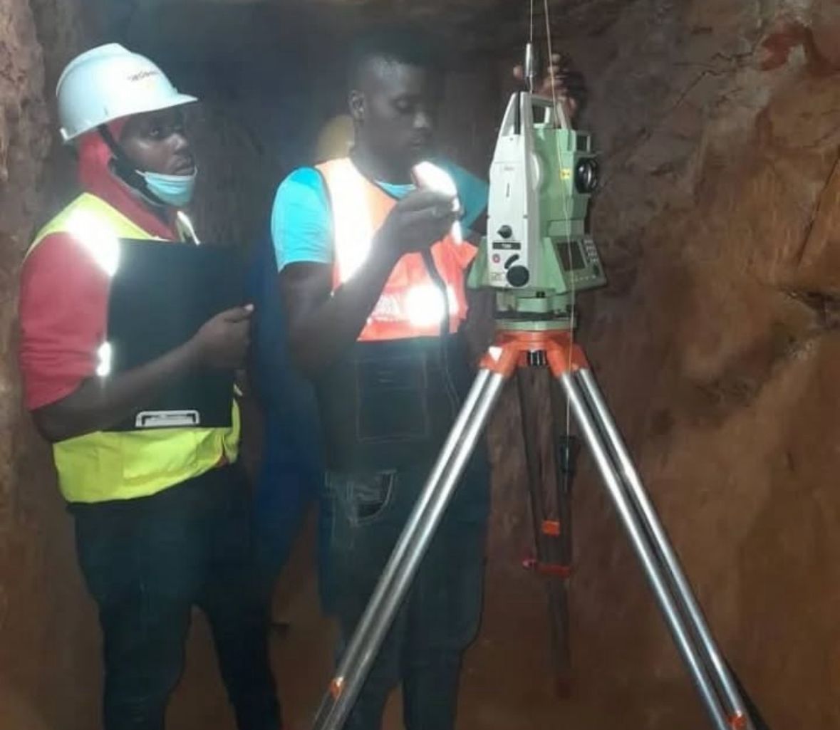
Real images from our team working on mining survey projects — underground and on-site
.jpeg)
.jpeg)
.jpeg)
.jpeg)
A clear and structured workflow from the start of a project to the delivery of final results
We meet with the client to gain a clear understanding of the project scope, timeline, regulatory requirements, and the type of data outputs needed.
Our survey team mobilises to the site with the appropriate equipment, including total stations, GNSS receivers, and drones where required.
Field surveys are carried out systematically using established control networks and standardised data capture methods to ensure consistency and accuracy.
All collected data is processed, checked, and validated against known control benchmarks before any final output is produced.
Final maps, technical reports, CAD and GIS files, and compliance documents are delivered to the client in the agreed format and within the set timeframe.
We use modern, well-maintained surveying equipment to ensure accurate and efficient results on every project
High-precision RTK and static GPS units used for geodetic control establishment and legal boundary surveys
Robotic and reflectorless total stations used for detailed site layout, measurement, and deformation monitoring
Photogrammetric drone flights used for large-area topographic mapping and accurate volumetric analysis
ArcGIS, AutoCAD Civil 3D, and QGIS are used for data processing, analysis, and the production of final deliverables